Aundeck Omni Kaning First Nation
| Sucker Creek 23 | |
|---|---|
| Indian reserve | |
| Sucker Creek Indian Reserve No. 23 | |
 Sucker Creek 23 | |
| Coordinates: 45°58′N 82°00′W / 45.967°N 82.000°WCoordinates: 45°58′N 82°00′W / 45.967°N 82.000°W | |
| Country |
|
| Province |
|
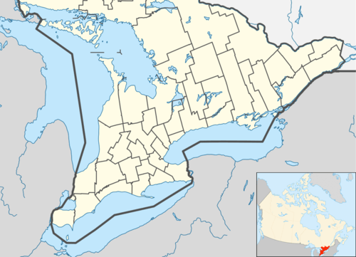
| District | Manitoulin |
| First Nation | Aundeck Omni Kaning |
| Area[1] | |
| • Land | 6.49 km2 (2.51 sq mi) |
| Population (2011)[1] | |
| • Total | 365 |
| • Density | 56.2/km2 (146/sq mi) |
| Time zone | EST (UTC-5) |
| • Summer (DST) | EDT (UTC-4) |
| Website | Aundeck Omni Kaning First Nation |
Aundeck Omni Kaning First Nation is an Ojibway First Nation on Manitoulin Island, with their reserve at Sucker Creek 23. The First Nation is a member of the United Chiefs and Councils of Manitoulin and the Union of Ontario Indians. They were formerly known as the Ojibways of Sucker Creek.
External links
References
- 1 2 "Sucker Creek 23 census profile". 2011 Census of Population. Statistics Canada. Retrieved 24 July 2014.
 |
Northeastern Manitoulin and the Islands | | ||
| North Channel | |
Northeastern Manitoulin and the Islands | ||
| ||||
| | ||||
| Northeastern Manitoulin and the Islands |
This article is issued from Wikipedia - version of the 10/21/2016. The text is available under the Creative Commons Attribution/Share Alike but additional terms may apply for the media files.