Bichtenberg
| Bichtenberg | |
|---|---|
 Bichtenberg | |
| Highest point | |
| Elevation | 400 m (1,300 ft) |
| Coordinates | 49°09′35″N 7°43′30″E / 49.15972°N 7.725°ECoordinates: 49°09′35″N 7°43′30″E / 49.15972°N 7.725°E |
| Geography | |
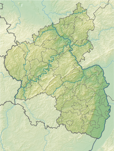
| Location | Rhineland-Palatinate, Germany |
| Parent range | Palatine Forest |
| Geology | |
| Mountain type | Bunter sandstone |
The Bichtenberg is a 400-metre-high hill in the western Wasgau, a region on the Franco-German border that includes the southern part of the Palatine Forest and the northern part of the Vosges. Its northwestern flank is in the parish of Lemberg, its southwestern flank in the parish of Dahn. To the north is the Lemberg hamlet of Salzwoog. Three kilometres west lies the Salzwoog Devil's Table.[1]
The Bichteberg, which is made of bunter sandstone[2] is entirely covered in mixed forest crossed by several tracks and forest roads. One route to the summit is also suitable for mountain bikes.[3]
References
- ↑ Bichtenberg im Landschaftsinformationssystem der Naturschutzverwaltung Rheinland-Pfalz
- ↑ Das Moosbachtal, retrieved 26 November 2009
- ↑ http://www.gps-tour.info/de/touren/detail.11655.html
This article is issued from Wikipedia - version of the 12/6/2015. The text is available under the Creative Commons Attribution/Share Alike but additional terms may apply for the media files.