Bloskülb
| Bloskülb | |
|---|---|
 Bloskülb | |
| Highest point | |
| Elevation | 570 m above sea level (NN) (1,870 ft) |
| Coordinates | 49°20′00″N 7°54′00″E / 49.33333°N 7.9°ECoordinates: 49°20′00″N 7°54′00″E / 49.33333°N 7.9°E |
| Geography | |
| Location | Palatine Forest |
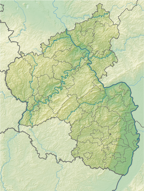
The Bloskülb is a 570-metre-high hill in the central part of the Palatine Forest of Germany. It lies about three kilometres northwest of the village of Iggelbach. It is located entirely within the territory of the municipality of Elmstein.
References
This article is issued from Wikipedia - version of the 2/16/2016. The text is available under the Creative Commons Attribution/Share Alike but additional terms may apply for the media files.