Cerrah
| Cerrah | |
|---|---|
| Town | |
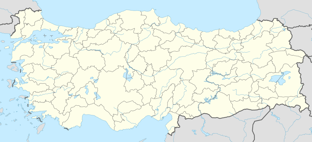 Cerrah Location in Turkey | |
| Coordinates: 40°01′N 29°27′E / 40.017°N 29.450°ECoordinates: 40°01′N 29°27′E / 40.017°N 29.450°E | |
| Country |
|
| Province | Bursa Province |
| District | İnegöl |
| Elevation | 330 m (1,080 ft) |
| Population (2012) | |
| • Total | 3,707 |
| Time zone | EET (UTC+2) |
| • Summer (DST) | EEST (UTC+3) |
| Postal code | 16415 |
| Area code(s) | 0224 |
| Licence plate | 16 |
Cerrah is a town in İnegöl district of Bursa Province, Turkey. Situated at 40°01′N 29°27′E / 40.017°N 29.450°E it is 5 kilometres (3.1 mi) west of İnegöl and 45 kilometres (28 mi) east of Bursa. The population of Cerrah was 3707 .[1] as of 2012. The historical serrlement was declared a seat of township in 1989. In addition to farming, furniture industry and trade in nearby İnegöl constitute a major source of revenue to the town. Along the Cerrah creek from Uludağ there are picnic areas established by the municipality. There is also a low power hydroelectric plant (800 000 kw-hr/year) on the creek.[2]
References
- ↑ Statistical Institute
- ↑ Mayor's page (Turkish) Archived January 13, 2008, at the Wayback Machine.
This article is issued from Wikipedia - version of the 11/18/2016. The text is available under the Creative Commons Attribution/Share Alike but additional terms may apply for the media files.