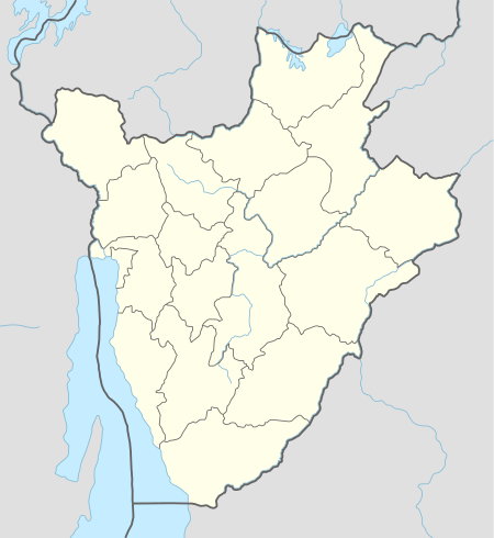
Commune of Bururi
| Commune of Bururi | |
|---|---|
| Commune | |
 Commune of Bururi Commune of Bururi in Burundi | |
| Coordinates: BI 3°56′19″S 29°36′37″E / 3.93861°S 29.61028°E | |
| Country |
|
| Province | Bururi Province |
| Administrative center | Bururi |
| Area | |
| • Total | 391.55 km2 (151.18 sq mi) |
| Elevation | 1,864 m (6,115 ft) |
| Population (2008 census) | |
| • Total | 83,614 |
| • Density | 210/km2 (550/sq mi) |
| Time zone | Central Africa Time (UTC+2) |
Commune of Bururi is a commune of Bururi Province in south-western Burundi.[1] The capital lies at Bururi. In 2007, DGHER electrified one rural village in the commune.[2]
Geography
Settlements
- Bururi
- Buta
- Gahama
- Gasanda
- Gatanga
- Gikokoma
- Gisarenda
- Kabogora
- Kagomogomo
- Kajabure
- Kamvumvu
- Karimbi
- Kibango
- Kiganda
- Kimongozi
- Kinama
- Kirabuke
- Kiremba
- Kivuruga
- Mahando
- Miremera
- Mpinga
- Mudaraza
- Munini
- Munyegeri
- Murehe
- Murinda
- Musagara
- Musorora
- Muyuga
- Muzura
- Nanira
- Ndagano
- Ndava
- Nyakarambo
- Nyange
- Rudegwe
- Rurembera
- Rushiha
- Rwankona
- Shembe
- Showe
- Taba
- Tarire
References
- ↑ United States. Foreign Broadcast Information Service (1982). Sub-Saharan Africa report. Foreign Broadcast Information Service. Retrieved 20 April 2012.
- ↑ International Monetary Fund (10 March 2009). Burundi: Poverty Reduction Strategy Paper - Annual Progress Report. International Monetary Fund. p. 56. ISBN 978-1-4518-0299-3. Retrieved 20 April 2012.
This article is issued from Wikipedia - version of the 10/21/2016. The text is available under the Creative Commons Attribution/Share Alike but additional terms may apply for the media files.