Crawley Edge Cairns
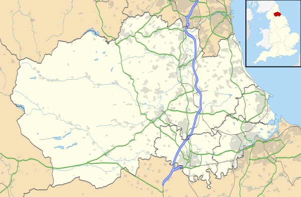
 Map showing the location of the Crawley Edge Cairns in County Durham. | |
| Alternate name | Crawley Edge Cairnfield |
|---|---|
| Location | near Stanhope, County Durham |
| Region | North East |
| Coordinates | 54°45′11″N 1°59′49″W / 54.753149°N 1.9968609°W |
| Type | Bronze Age Cairnfield |
The Crawley Edge Cairns are a series of forty-two Bronze Age round barrows, cairns and clearance cairns located in a field in Crawleyside, near Stanhope, County Durham, England.[1]
The Cairnfield
The cairnfield site lies on a gentle south-facing slope of a hill-spur in Weardale and remains in open moorland.[1] Two of the cairns were excavated in 1977 and surveys undertaken in 1984 and 1991.[1][2]
The inclusion of clearance cairns at the site is usually taken as an indication of clearance in advance of arable farming, but the Crawley Edge field unusually includes a barrow cremation mound among the cairns.[3]
See also
References
- 1 2 3 "PastScape Record: MONUMENT NO. 20163". English Heritage. 2007. Retrieved 2015-02-22.
- ↑ Young, R. and Welfare, A. T., 1978. Excavations at Crawley Edge, Stanhope in Weardale, 1976-7 (Archaeological Reports for 1977). Durham: University of Durham, pp.8-10
- ↑ Turnbull, P. (2006). "Archaeological Survey in connection with a proposed new trackway on Bollihope Common, Frosterley, Weardale, Co. Durham (Brigantia Archaeological Practice)" (PDF). Archaeology Data Service. Retrieved 2015-02-22.
External links
This article is issued from Wikipedia - version of the 8/14/2015. The text is available under the Creative Commons Attribution/Share Alike but additional terms may apply for the media files.