Dunseverick
| Dunseverick (alias Feigh) Irish: Dún Sobhairce (Faithche)[1] | |
|---|---|
| Irish transcription(s) | |
| • Derivation: | Dún Sobhairce |
| • Meaning: | "Sobhairce's fort" |
|
Dunseverick Castle | |
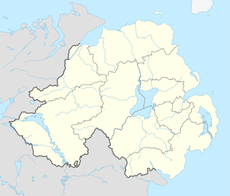
 Dunseverick (alias Feigh) Dunseverick (alias Feigh) shown within Northern Ireland | |
| Coordinates: 55°14′10″N 6°27′22″W / 55.236°N 6.456°WCoordinates: 55°14′10″N 6°27′22″W / 55.236°N 6.456°W | |
| Country | Northern Ireland |
| County | Antrim |
| Barony | Cary |
| Civil parish | Billy |
| Plantation grant | Private plantation |
| First recorded | Before 1609 |
| Settlements | Dunseverick |
| Area[2] | |
| • Total | 103.60 ha (256.01 acres) |
Dunseverick (from Irish Dún Sobhairce, meaning "Sobhairce's fort")[3] is a hamlet near the Giant's Causeway in County Antrim, Northern Ireland. The name is also the alias for the townland of Feigh.[4] It is most notable for Dunseverick Castle.
One of the five great highways, or slighte of ancient Ireland, Slige Midluachra, had its terminal point at Dunseverick,[5] running from here to Emain Macha and further to royal Tara and the fording point on the Liffey at what is now Dublin.
The hamlet of Dunseverick itself actually lies in the adjacent townland of Currysheskin.[4]
References
- ↑ Logainm - Placenames Database of Ireland
- ↑ Northern Ireland Environment Agency. "NIEA Map Viewer". Retrieved 27 July 2012.
- ↑ Placenames Database of Ireland
- 1 2 Place Names NI - Dunseverick (use Map Search for location)
- ↑ "An Analysis of Pre-Christian Ireland Using Mythology and A GIS". Retrieved 14 June 2015.
External links
This article is issued from Wikipedia - version of the 5/13/2016. The text is available under the Creative Commons Attribution/Share Alike but additional terms may apply for the media files.

