Umanata Municipality
| Umanata | |
|---|---|
| Municipality | |
|
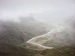
Suches River, Umanata | |
 Umanata Location of the Umanata Municipality within Bolivia | |
| Coordinates: 15°24′0″S 69°11′0″W / 15.40000°S 69.18333°WCoordinates: 15°24′0″S 69°11′0″W / 15.40000°S 69.18333°W | |
| Country |
|
| Department | La Paz Department |
| Province | Eliodoro Camacho Province |
| Foundation | February 6, 2009 |
| Seat | Umanata |
| Elevation | 13,800 ft (4,200 m) |
| Population (2001) | |
| • Total | 6,447 |
Umanata Municipality (also Humanata) is the fourth municipal section of the Eliodoro Camacho Province in the La Paz Department in Bolivia. It was created on February 6, 2009. Until then it was one of the cantons of the Viacha Municipality.[1] Its seat is Umanata (also Humanata) with 196 inhabitants in 2001.[2]
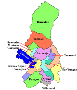
Umanata Municipality is situated in the north-western part of the province. It is bordered to the northwest by Peru, to the east by the Mocomoco Municipality, to the south and southwest by the Puerto Acosta Municipality.
See also
References
- ↑ www.bolivia.com (Spanish)
- ↑ National Institute of Statistics of Bolivia (Spanish)
External links
- Population data of Puerto Acosta Municipality in 2001 and map (still including Umanata Canton and Escoma Canton)
This article is issued from Wikipedia - version of the 2/2/2016. The text is available under the Creative Commons Attribution/Share Alike but additional terms may apply for the media files.

