Kayı, Bor
| Kayı | |
|---|---|
| Village | |
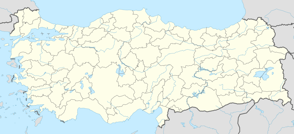 Kayı Location in Turkey | |
| Coordinates: 37°54′N 34°24′E / 37.900°N 34.400°ECoordinates: 37°54′N 34°24′E / 37.900°N 34.400°E | |
| Country |
|
| Province | Niğde Province |
| District | Bor |
| Elevation | 1,080 m (3,540 ft) |
| Population (2011) | |
| • Total | 728 |
| Time zone | EET (UTC+2) |
| • Summer (DST) | EEST (UTC+3) |
| Postal code | 51700 |
| Area code(s) | 0388 |
| Licence plate | 51 |
Kayı is a village in Bor district of Niğde Province, Turkey. At 37°54′N 34°24′E / 37.900°N 34.400°E it is situated in the plains of Central Anatolia, to the south of Melendiz Mountain. Distance to Bor is 29 kilometres (18 mi) to Niğde is 39 kilometres (24 mi). The population of Kayı was 728 as of 2011.[1]
References
This article is issued from Wikipedia - version of the 12/22/2014. The text is available under the Creative Commons Attribution/Share Alike but additional terms may apply for the media files.