Langtauferer Spitze
| Langtauferer Spitze | |
|---|---|
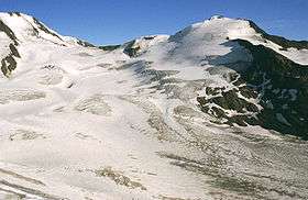 Langtauferer Spitze from the southeast over the Hintereisferner. All the way on the left is the Weißkugel. | |
| Highest point | |
| Elevation | 3,529 m (11,578 ft) |
| Prominence | 177 m (581 ft) |
| Parent peak | Weißkugel |
| Coordinates | 46°48′17″N 10°44′45″E / 46.80472°N 10.74583°ECoordinates: 46°48′17″N 10°44′45″E / 46.80472°N 10.74583°E |
| Geography | |
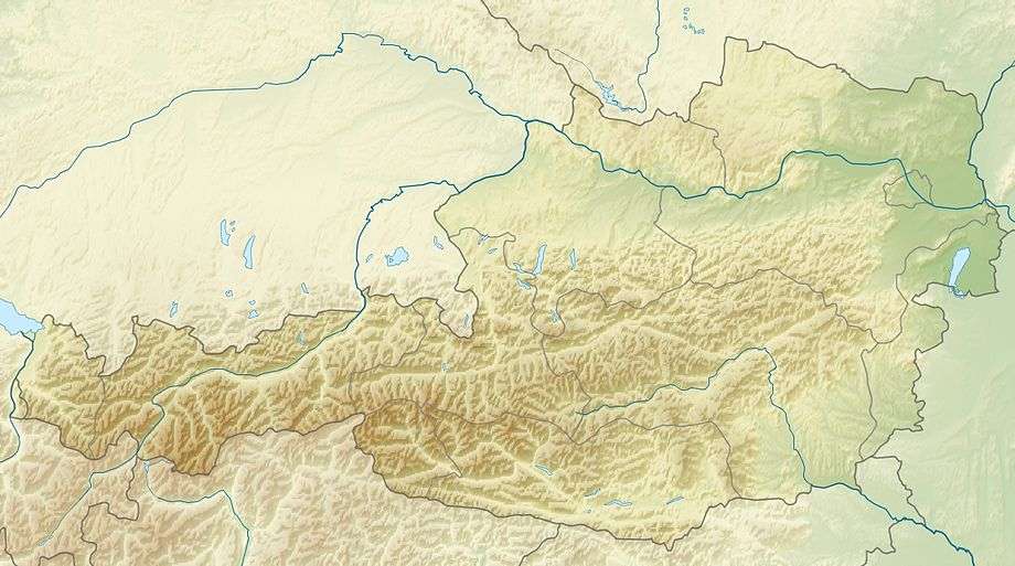 Langtauferer Spitze Location within Austria on the Austrian—Italian border | |
| Location | Tyrol, Austria / South Tyrol, Italy |
| Parent range | Ötztal Alps |
| Climbing | |
| First ascent | 1865 by D. W. Freshfield, W. H. Fox, F. F. Tuckett, F. Devouassoud and P. Michel |
The Langtauferer Spitze is a mountain in the Weisskamm group of the Ötztal Alps on the border between Tyrol, Austria, and South Tyrol, Italy.
References
- Walter Klier: Alpenvereinsführer Ötztaler Alpen, Bergverlag Rudolf Rother, München 2006. ISBN 3-7633-1123-8
- Alpenvereinskarte Blatt 30/2, 1:25.000, Ötztaler Alpen, Weißkugel. ISBN 3-928777-39-4
External links
![]() Media related to Langtauferer Spitze at Wikimedia Commons
Media related to Langtauferer Spitze at Wikimedia Commons
This article is issued from Wikipedia - version of the 4/18/2013. The text is available under the Creative Commons Attribution/Share Alike but additional terms may apply for the media files.