Lava Bed Mountains
| Lava Bed Mountains | |
|---|---|
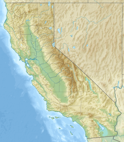 Location of Lava Bed Mountains in California [1] | |
| Highest point | |
| Elevation | 1,130 m (3,710 ft) |
| Geography | |
| Country | United States |
| State | California |
| District | San Bernardino County |
| Range coordinates | 34°37′40″N 116°27′13″W / 34.6278°N 116.4536°WCoordinates: 34°37′40″N 116°27′13″W / 34.6278°N 116.4536°W |
| Topo map | USGS Sunshine Peak |
The Lava Bed Mountains are located in the Mojave Desert in southeastern California, United States. The mountains lie in a northwest-southeasterly direction, and are located almost entirely within the Marine Corps Air Ground Combat Center Twentynine Palms, which is a restricted area. The mountains reach a height of 4,488 feet (1,368 m) above sea level at Argos Mountain, and are found at the northwestern end of the Bullion Mountains. Gays Pass is located at the southern end of the chain, with the Rodman Mountains to the northwest. The Lava Bed Mountains are approximately 11 miles (18 km), and lie in the arid climate zone, characterized by little rainfall.
References
- ↑ "Lava Bed Mountains". Geographic Names Information System. United States Geological Survey. Retrieved 2009-05-04.
- Allan, Stuart (2005). California Road and Recreation Atlas. Benchmark Maps. p. 105. ISBN 0-929591-80-1.
This article is issued from Wikipedia - version of the 8/26/2016. The text is available under the Creative Commons Attribution/Share Alike but additional terms may apply for the media files.