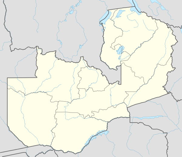
Matero, Lusaka
| Matero | |
|---|---|
| City neighborhood | |
 Matero Location in Zambia | |
| Coordinates: 15°22′33″S 28°15′47″E / 15.37583°S 28.26306°ECoordinates: 15°22′33″S 28°15′47″E / 15.37583°S 28.26306°E | |
| Country |
|
| Province | Lusaka |
| Constituency | Matero Constrituency |
Matero, also Matero Township is a neighborhood in the city of Lusaka, the capital of Zambia.
Location
The neighborhood is bordered to the northeast by the highway (T2), that stretches between Kabwe to the north, through Lusaka to Kafue to the south.To the southeast,the border is Lumumba Road. Umuzilikazi Road marks the neighborhood's southern border. The western border is the river that starts near the southern end of Chitanda Road and flows northwestwards until it crosses the same street near the Chitanda Sewerage pond. The northern border of Matero stretches from the Chitanda pond to the west, through Chitanda Cemetery, to end at the T2 highway, immediately north of National Heroes Stadium.[1] The coordinates of Matero are: 15°22'33.0"S, 28°15'47.0"E (Latitude:-15.375823; Longitude:28.263054).[2]
Overview
Matero, Lusaka is a high-density, working class neighborhood. It used to be known for criminal activities, bad road networks and poor drainage system. Currently the area has recorded a number of developments such as new roads, drainage and other infrastructure developments compared to what the area used to be.
See also
References
- ↑ Google (16 April 2016). "Map of Lusaka Showing the Boundaries of Matero" (Map). Google Maps. Google. Retrieved 16 April 2016.
- ↑ Google (16 April 2016). "Location of Matero, Lusaka" (Map). Google Maps. Google. Retrieved 16 April 2016.