Nation Ford Road
|
Nation Ford Road | |
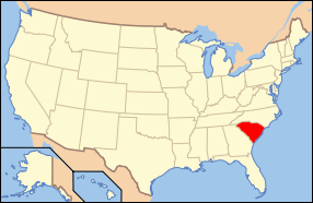
| Location | 5 noncontiguous sections of roadbed in Fort Mill, near Fort Mill, South Carolina |
|---|---|
| Area | 7.5 acres (3.0 ha) |
| MPS | Nation Ford Road Area MPS |
| NRHP Reference # | 00000593[1] |
| Added to NRHP | March 1, 2007 |
Nation Ford Road is a historic roadbed located near Fort Mill, York County, South Carolina. It dates to pre-historic times and is one of the oldest documented travel routes in the southeast. It provided one of the few reliable crossing places on the Catawba River and was being used by white traders as early as 1650. The presence of the road led many early European settlers to locate in the area. Segments of the road are visible near the William Elliott White House and Springfield Plantation House.[2][3]
It was added to the National Register of Historic Places in 2007.[1]
References
- 1 2 National Park Service (2010-07-09). "National Register Information System". National Register of Historic Places. National Park Service.
- ↑ Paul M. Gettys (August 1997). "Nation Ford Road" (pdf). National Register of Historic Places - Nomination and Inventory. Retrieved 2014-07-01.
- ↑ "Nation Ford Road, York County (Ft. Mill vicinity)". National Register Properties in South Carolina. South Carolina Department of Archives and History. Retrieved 2014-07-01.
This article is issued from Wikipedia - version of the 8/28/2016. The text is available under the Creative Commons Attribution/Share Alike but additional terms may apply for the media files.

