Puka Punta (Ancash)
This article is about the mountain in the Ancash Region, Peru. For other uses, see Puka Punta.
| Puka Punta | |
|---|---|
 Puka Punta Peru | |
| Highest point | |
| Elevation | 4,800 m (15,700 ft) [1] |
| Coordinates | 8°58′15″S 77°56′27″W / 8.97083°S 77.94083°WCoordinates: 8°58′15″S 77°56′27″W / 8.97083°S 77.94083°W |
| Geography | |
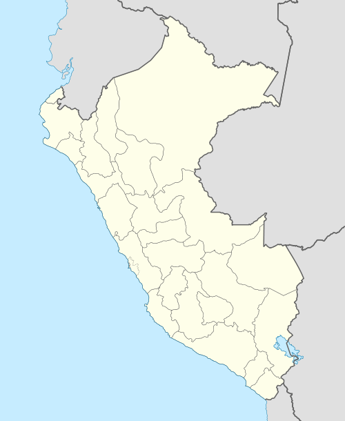
| Location | Peru, Ancash Region |
| Parent range | Andes, Cordillera Negra |
Puka Punta (Quechua puka red, punta peak; ridge,[2][3] "red peak (or ridge)", also spelled Pucapunta) is a mountain in the Cordillera Negra in the Andes of Peru which reaches a height of approximately 4,800 m (15,700 ft). It is located in the Ancash Region, Huaylas Province, Mato District, and in the Santa Province, Cáceres del Perú District. Puka Punta lies southeast of a mountain and lake named Qarwaqucha.[1]
References
This article is issued from Wikipedia - version of the 6/3/2016. The text is available under the Creative Commons Attribution/Share Alike but additional terms may apply for the media files.