RAF Long Kesh
| RAF Long Kesh | |||||||||||||||||||
|---|---|---|---|---|---|---|---|---|---|---|---|---|---|---|---|---|---|---|---|
| IATA: none – ICAO: none | |||||||||||||||||||
| Summary | |||||||||||||||||||
| Airport type | Military | ||||||||||||||||||
| Owner | Ministry of Defence | ||||||||||||||||||
| Operator | Royal Air Force | ||||||||||||||||||
| Location | Maze, Lisburn | ||||||||||||||||||
| Built | 1940 | ||||||||||||||||||
| In use | 1941-1971 | ||||||||||||||||||
| Elevation AMSL | 115 ft / 35 m | ||||||||||||||||||
| Coordinates | 54°29′22″N 006°06′16″W / 54.48944°N 6.10444°W | ||||||||||||||||||
| Map | |||||||||||||||||||
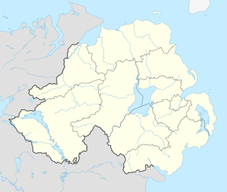
 RAF Long Kesh Location in Northern Ireland | |||||||||||||||||||
| Runways | |||||||||||||||||||
| |||||||||||||||||||
Royal Air Force station Long Kesh or more simply RAF Long Kesh was a Royal Air Force station at Maze, Lisburn, Northern Ireland.
Various aircraft operated from the airfield during the Second World War, including the Supermarine Seafire and Spitfire.
History
During the Second World War, Long Kesh was a target in Operation Green, a second front to Operation Sea Lion which was the planned Nazi invasion of the UK. Long Kesh was to be destroyed by German paratroopers while Aldergrove, Nutts Corner and Langford Lodge were to be captured.
Hangars were constructed by the Ministry of Aircraft Production for the use of Short Brothers for assembly of Short Stirling bombers.[1] Some Stirlings were assembled here, before assembly moved to Maghaberry and Long Kesh continued with wing manufacture. One of these hangars was later used by Miles Aircraft for final assembly and test flying work of Miles Messenger aircraft produced by their factory in a linen mill at Banbridge.[1]
From 1971 the then disused base became the Long Kesh Detention Centre. It was here that republicans were interned after 9 August 1971, when security forces launched dawn raids to arrest 452 known or suspected members of the Irish Republican Army (IRA). From 1976 these makeshift structures were abandoned in favour of the newly built H-Blocks in what became HM Prison Maze.
Operational units and aircraft
- No. 74 Squadron RAF(1942) - Supermarine Spitfire I.[2]
- No. 88 Squadron RAF Detachment (1941-1942) - Douglas Boston III.[3]
- No. 226 Squadron RAF Detachment (1941) - Bristol Blenheim IV.[4]
- No. 231 Squadron RAF (1941-1942) - Curtiss Tomahawk I & IIB.[5]
- No. 290 Squadron RAF (1943-1944) - Miles Martinet.[6]
- No. 422 Squadron RCAF (1942) - Consolidated Catalina IB.[7]
See also
References
Citations
- 1 2 Ernie Cromie. "Long Kesh & Maghaberry". Ulster Aviation Society.
- ↑ Jefford 1988, p. 47.
- ↑ Jefford 1988, p. 51.
- ↑ Jefford 1988, p. 73.
- ↑ Jefford 1988, p. 74.
- ↑ Jefford 1988, p. 84.
- ↑ Jefford 1988, p. 91.
Bibliography
- Jefford, C.G, MBE,BA ,RAF (Retd). RAF Squadrons, a Comprehensive Record of the Movement and Equipment of all RAF Squadrons and their Antecedents since 1912. Shrewsbury, Shropshire, UK: Airlife Publishing, 1988. ISBN 1-84037-141-2.
External links
Coordinates: 54°29′24″N 6°06′18″W / 54.490°N 6.105°W