Ranger Peak (California)
| Ranger Peak | |
|---|---|
 Ranger Peak | |
| Highest point | |
| Elevation | 5,085 ft (1,550 m) NAVD 88[1] |
| Prominence | 2 ft (0.61 m) [1] |
| Coordinates | 33°50′40″N 116°49′34″W / 33.8444621°N 116.826131°WCoordinates: 33°50′40″N 116°49′34″W / 33.8444621°N 116.826131°W [2] |
| Geography | |
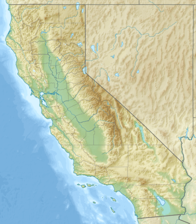
| Location | Riverside County, California, U.S. |
| Parent range | San Jacinto Mountains |
| Topo map | USGS Lake Fulmor |
Ranger Peak is in Riverside County, California.[1]
References
- 1 2 3 "Ranger Peak, California". Peakbagger.com. Retrieved 2010-03-04.
- ↑ "Ranger Peak". Geographic Names Information System. United States Geological Survey. Retrieved 2013-01-25.
This article is issued from Wikipedia - version of the 12/6/2015. The text is available under the Creative Commons Attribution/Share Alike but additional terms may apply for the media files.