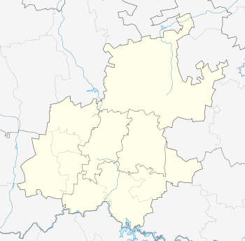
Ratanda
| Ratanda | |
|---|---|
 Ratanda  Ratanda  Ratanda
| |
| Coordinates: 26°33′S 28°20′E / 26.550°S 28.333°ECoordinates: 26°33′S 28°20′E / 26.550°S 28.333°E | |
| Country | South Africa |
| Province | Gauteng |
| District | Sedibeng |
| Municipality | Lesedi |
| Area[1] | |
| • Total | 6.50 km2 (2.51 sq mi) |
| Population (2011)[1] | |
| • Total | 36,102 |
| • Density | 5,600/km2 (14,000/sq mi) |
| Racial makeup (2011)[1] | |
| • Black African | 99.1% |
| • Coloured | 0.4% |
| • Indian/Asian | 0.2% |
| • Other | 0.3% |
| First languages (2011)[1] | |
| • Zulu | 50.6% |
| • Sotho | 35.5% |
| • Xhosa | 5.0% |
| • English | 1.5% |
| • Other | 7.3% |
| Postal code (street) | 1441 |
| PO box | 1443 |
Ratanda is a township south of Heidelberg in Gauteng, South Africa.
It was established in 1955. Ratanda was one of the first townships to be affected by unrest which broke out in 1984 on the highveld.
Ratanda has 23 different extensions, of which extension 1 is the higher class level and extension 7 being the lowest income housing. Ratanda is derived from two Native African languages "Rata" meaning (SeSotho)= Love and "Thanda" (IsiZulu)= Love. Hence Ratanda, meaning a place of Love for the people for the locals who fell in love with the place.
References
- 1 2 3 4 "Main Place Ratanda". Census 2011.
This article is issued from Wikipedia - version of the 8/5/2016. The text is available under the Creative Commons Attribution/Share Alike but additional terms may apply for the media files.
.svg.png)