Roc de Gleisin
| Roc de Gleisin | |
|---|---|
 | |
| Highest point | |
| Elevation | 1,434 m (4,705 ft) |
| Coordinates | 45°26′32″N 05°50′53″E / 45.44222°N 5.84806°ECoordinates: 45°26′32″N 05°50′53″E / 45.44222°N 5.84806°E |
| Geography | |
 Roc de Gleisin France | |
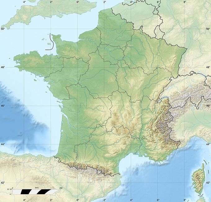
| Location | Savoie, France |
| Parent range | Chartreuse Mountains |
| Climbing | |
| Easiest route | From the Col du Grapillon |
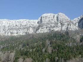
The Roc de Gleisin is a Massif de la Chartreuse mountain located between Entremont-le-Vieux and Saint-Pierre-d'Entremont in Savoie districts. Rock bars on its western side also delimit the territory of Corbel district. The summit is 1,434 metres (4,705 ft) above sea level.[1] The mountain is most composed of limestone.
Hike
The top of the roc de Gleisin ridge allows access to Roche Veyrand south, Col de la Cluse north or to return to the town of Saint-Pierre-d'Entremont in Savoie east.
References
- ↑ "Roc de Gleisin". Camptocamp.org. Retrieved February 26, 2016.
This article is issued from Wikipedia - version of the 2/27/2016. The text is available under the Creative Commons Attribution/Share Alike but additional terms may apply for the media files.