Santa Rosa, Curaçao
| Santa Rosa | |
|---|---|
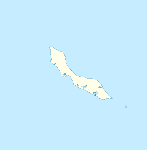
 Santa Rosa Location in Curaçao | |
| Coordinates: 12°6′S 68°52′E / 12.100°S 68.867°ECoordinates: 12°6′S 68°52′E / 12.100°S 68.867°E | |
| State | Kingdom of the Netherlands |
| Country | Curaçao |
| Population | 3,800 |
Santa Rosa is a town in the east of the island of Curaçao in the former Netherlands Antilles. It is 15 km to the east of the Capitol Willemstad, located inland from the east coast, to the south of Santa Catarina, and is connected to the eastern coastline via a canal. To the southwest lies the settlement of Bapor Kibra, and to the southeast lies Nieuwpoort. The settlement of Santa Maria lies to the northwest.
It is a breeding ground for frigate birds, and is also the site of the CurAloe (Ecocity) plantation, a large Aloe vera plantation which offers daily tours to visitors.
This article is issued from Wikipedia - version of the 4/20/2016. The text is available under the Creative Commons Attribution/Share Alike but additional terms may apply for the media files.