Slieve na Calliagh
| Slieve na Calliagh | |
|---|---|
| Sliabh na Caillí | |
 | |
| Highest point | |
| Elevation | 276 m (906 ft) [1] |
| Prominence | 150 m (490 ft) [1] |
| Listing | Marilyn |
| Coordinates | 53°44′40″N 7°06′42″W / 53.74452°N 7.11167°WCoordinates: 53°44′40″N 7°06′42″W / 53.74452°N 7.11167°W |
| Naming | |
| Translation | the hag's mountain (Irish) |
| Geography | |
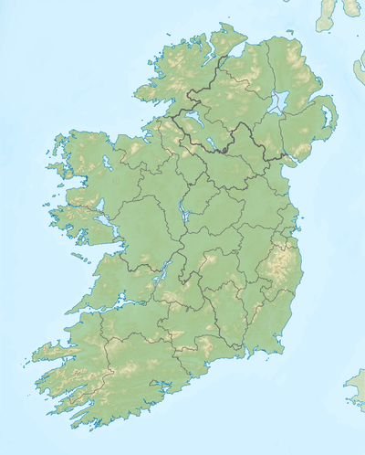
 Slieve na Calliagh Location in Ireland | |
| Location | County Meath, Republic of Ireland |
| Parent range | Meath Hills |
| OSI/OSNI grid | N586775 |
Slieve na Calliagh (Irish: Sliabh na Caillí, meaning "the hag's mountain") is a hill of Ireland.
Geography

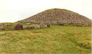
The burial chamber at the summit of Slieve na Calliagh
The Slieve na Calliagh is the highest peak in a low range of hills in northwest County Meath. The hills are notable as the location of the Loughcrew Megalithic Tomb Cemetery. The rays of the equinox sunrise shine down the passageway of the Cairn T and illuminate an inner chamber filled with megalithic stonecarvings.
See also
References
- 1 2 "North Midlands Area - Slieve Na Calliagh Hill". MountainViews. Ordnance Survey Ireland. Retrieved May 21, 2015.
External links
- Megalithic Cairns at Slieve na Calliagh - photos and videos from Knowth.com
This article is issued from Wikipedia - version of the 9/26/2016. The text is available under the Creative Commons Attribution/Share Alike but additional terms may apply for the media files.
