Sonnagh fort
| Ráth an tSonnaigh | |
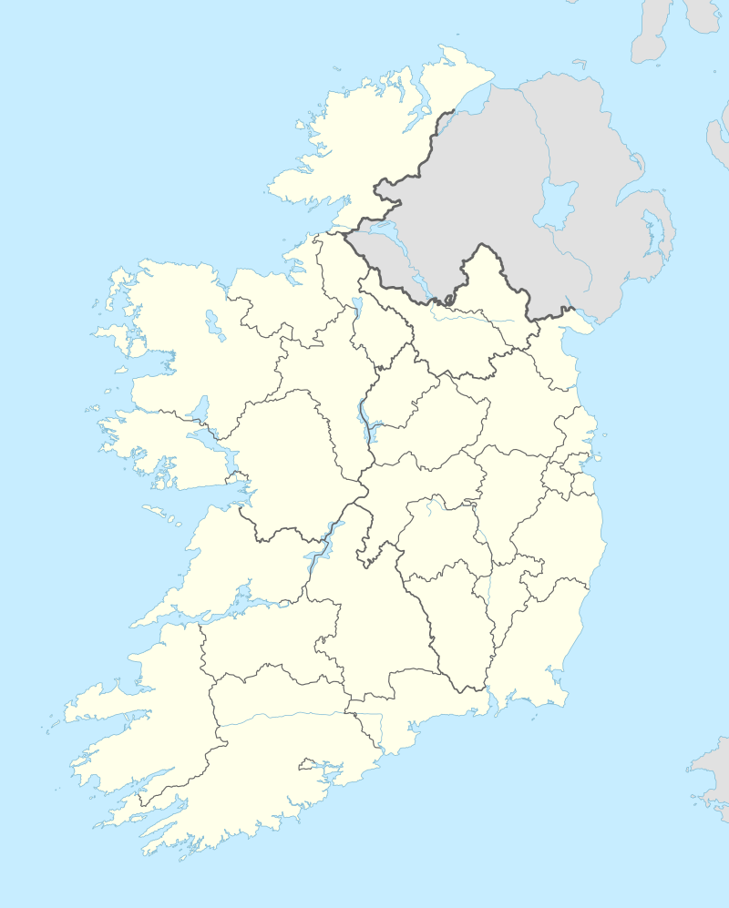 Shown within Ireland | |
| Location |
Sonnagh, Aughnacliffe, County Longford, Ireland |
|---|---|
| Coordinates | 53°49′51″N 7°36′02″W / 53.830744°N 7.600570°WCoordinates: 53°49′51″N 7°36′02″W / 53.830744°N 7.600570°W |
| Type | ringfort |
| Area | 0.39 ha (0.96 acres) |
| History | |
| Material | earth |
| Periods | Bronze or Iron Age (c. 2400 BC – AD 400) |
| Site notes | |
| Ownership | private |
| Designation | National Monument |
Sonnagh fort is a ringfort (rath) and National Monument located in County Longford, Ireland.[1][2]
Location
Sonnagh fort is located about 1.2 km (0.75 mi) west of Lough Gowna and 7.2 km (4.5 mi) north-northeast of Ballinalee. It stands in a commanding place overlooking the eastern plains extending to County Westmeath.
Description
The ringfort is a large bivallate enclosure with double bank and ditch. A spring lies immediately to the east.
History
There are seven ringforts surrounding Aughnacliffe, of which Sonnagh is the best preserved; they are better thought of as protected homesteads rather than military structures.[3] While house type varied, most were made of wood and were usually of post and wattle construction. The walls of the houses consisted of a double row of wattle spaced about 20cm apart with a cavity filled with straw and bracken for insulation. The roof was thatched with straw and held up with wooden posts.[4] The fort's walls gives their name to the townland: sonnach is Irish for "palisade."[5]
References
- ↑ http://www.longfordlibrary.ie/uploadedFiles/longfordlibrary/Heritage/Projects/Longford%20RMP%20Accessibility%20Audit%202009-2010.pdf
- ↑ "Wish I Was In Ireland".
- ↑ "Longford, Co Longford". 3 September 2008.
- ↑ "archive-ie.com: longfordtourism.ie - Ardagh - County Longford Tourism Website".
- ↑ "Foclóir Gaeilge–Béarla (Ó Dónaill): sonnach".