Tao Mountain
| Tao Mountain | |
|---|---|
| Taoshan | |
 Tao Mountain | |
| Highest point | |
| Elevation | 3,325 metres (10,909 ft) |
| Listing | 100 Peaks of Taiwan |
| Coordinates | 24°25′57″N 121°18′18″E / 24.43250°N 121.30500°ECoordinates: 24°25′57″N 121°18′18″E / 24.43250°N 121.30500°E |
| Geography | |
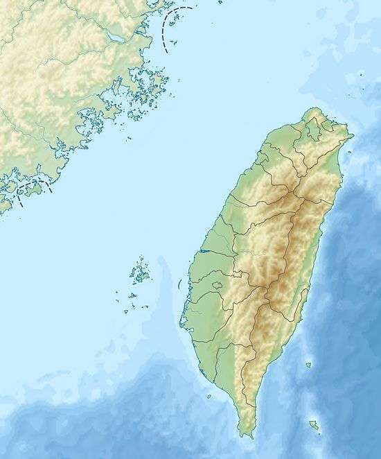 Tao Mountain The location of Tao Mountain | |
| Location |
Heping District, Taichung/ Jianshi, Hsinchu County, Taiwan |
| Parent range | Xueshan Range |
| Climbing | |
| Easiest route | Hike |
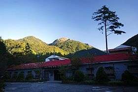
Taoshan (Chinese: 桃山; pinyin: Tao Shān),Tao Mountain is 3,325 metres (10,909 ft) high mountain located in the north of the Wuling Farm and is one of Snow Mountains group. The mountain is ranked no No. 44 in Taiwan hicking declination scale; Borders with Ridge Jianshi, Hsinchu County, Taichung City, Heping District, Marked with Peakpoint label no. 6327. In Atayal language (local tribe) the mountain is known as "Babo Kaba", meaning "fist Hill". In Chinese the name translates as "Peach" mountain, due to the view from southwest side.
Climbing routes
There are several climbing paths towards Tao Shan. The simplest is through the Wuling four show route, starting from Sancha camp. There is also another path that directly goes up to Tao Shan, which starts from Tao Shan waterfall park.