Tupiza Airport
| Tupiza Airport Aeropuerto Tupiza | |||||||||||||||
|---|---|---|---|---|---|---|---|---|---|---|---|---|---|---|---|
| IATA: none – ICAO: SLTZ | |||||||||||||||
| Summary | |||||||||||||||
| Airport type | Public | ||||||||||||||
| Serves | Tupiza | ||||||||||||||
| Location |
| ||||||||||||||
| Elevation AMSL | 11,300 ft / 3,444 m | ||||||||||||||
| Coordinates | 21°20′9.7″S 065°36′42.7″W / 21.336028°S 65.611861°WCoordinates: 21°20′9.7″S 065°36′42.7″W / 21.336028°S 65.611861°W | ||||||||||||||
| Map | |||||||||||||||
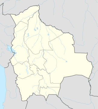 SLTZ Location of Tupiza Airport in Bolivia | |||||||||||||||
| Runways | |||||||||||||||
| |||||||||||||||
Tupiza Airport (Spanish: Aeropuerto Tupiza, ICAO: SLTZ) is a public use airport located 16 kilometres (10 mi) northeast of Tupiza, Potosí, Bolivia.
See also
References
- ↑ Airport record for Tupiza Airport at Landings.com. Retrieved 2013-09-02
- ↑ Google (2013-09-02). "location of Tupiza Airport" (Map). Google Maps. Google. Retrieved 2013-09-02.
External links
- Airport record for Tupiza Airport at Landings.com
This article is issued from Wikipedia - version of the 11/10/2016. The text is available under the Creative Commons Attribution/Share Alike but additional terms may apply for the media files.