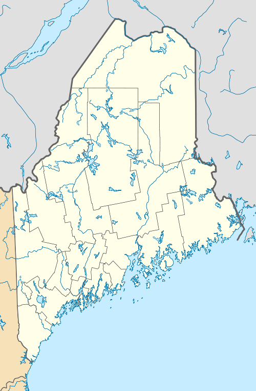
White Cap Mountain (Franklin County, Maine)
| White Cap Mountain | |
|---|---|
 White Cap Mountain | |
| Highest point | |
| Elevation | 3,856 ft (1,175 m) [1] |
| Prominence | 996 ft (304 m) [1] |
| Listing | New England 100 Highest #82 |
| Coordinates | 45°14′10″N 70°49′05″W / 45.236167°N 70.818167°WCoordinates: 45°14′10″N 70°49′05″W / 45.236167°N 70.818167°W [2] |
| Geography | |
| Location | Franklin County, Maine |
| Topo map | USGS Little Kennebago Lake |
| Climbing | |
| Easiest route | trailless bushwhack |
White Cap Mountain is a mountain located in Franklin County, Maine, about 1 mi (1.6 km) east of the Canada–US border with Québec. White Cap Mountain is flanked to the south by Kennebago Divide Mountain.
White Cap Mountain stands within the watershed of the upper Androscoggin River, which drains into Merrymeeting Bay, the estuary of the Kennebec River, and then into the Gulf of Maine. The north face of White Cap Mountain drains via a stream into the Kennebago River, then into Cupsuptic Lake, through a series of lakes into the Rapid River and Umbagog Lake, the source of the Androscoggin River. The southeast end of White Cap drains into Bear Brook, and then into the Kennebago River. The southwest side of White Cap drains into Porter Brook, then into the Cupsuptic River and Cupsuptic Lake.
The mountain can be approached by logging roads. Anyone wishing to climb Whitecap would be well advised to get in touch with the Appalachian Mountain Club Four Thousand Footer Committee for route information.[3]
See also
- White Cap Mountain
- List of mountains in Maine
- New England Hundred Highest
References
- 1 2 "White Cap Mountain, Maine". Peakbagger.com. Retrieved 2012-05-06.
- ↑ "White Cap Mountain". Geographic Names Information System. United States Geological Survey.
- ↑ AMC Four Thousand Footer Committee FAQ