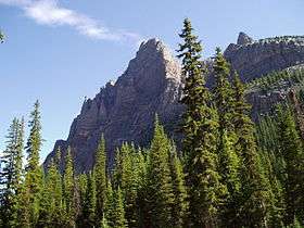
Wiwaxy Peak
| Wiwaxy Peak | |
|---|---|
 Wiwaxy Peak, from the Lake O'Hara campground | |
| Highest point | |
| Elevation | 2,706 m (8,878 ft) [1] |
| Prominence | 174 m (571 ft) [1] |
| Coordinates | 51°22′0″N 116°19′7″W / 51.36667°N 116.31861°WCoordinates: 51°22′0″N 116°19′7″W / 51.36667°N 116.31861°W |
| Geography | |
| Location | British Columbia, Canada |
| Parent range | Canadian Rockies |
| Topo map | NTS 82N/08 |
| Climbing | |
| First ascent | 1951 by T. Church, D. Pullin, W.Roubenheimer, T. Whalley[1] |
| Easiest route | 5.6 trad |
Wiwaxy Peak is a mountain peak near Lake O'Hara in British Columbia, Canada. It was named in 1894 by Samuel E.S. Allen for the Stoney First Nations word for "windy". The Burgess Shale animal Wiwaxia corrugata is named after it.
Routes
- Grassi Ridge
 Wiwaxy Peak on a bad-weather morning
Nearby
- Elizabeth Parker hut
- Lake O'Hara
- Mount Huber
References
This article is issued from Wikipedia - version of the 9/6/2014. The text is available under the Creative Commons Attribution/Share Alike but additional terms may apply for the media files.