Arinosa, Utah
| Arinosa, Utah | |
|---|---|
| ghost town | |
 Arinosa, Utah  Arinosa, Utah | |
| Coordinates: 40°43′52″N 113°40′18″W / 40.73111°N 113.67167°WCoordinates: 40°43′52″N 113°40′18″W / 40.73111°N 113.67167°W | |
| Country | United States |
| State | Utah |
| County | Tooele |
| Elevation | 4,220 ft (1,290 m) |
| Time zone | Mountain (MST) (UTC-7) |
| • Summer (DST) | MDT (UTC-6) |
| Area code(s) | 435 |
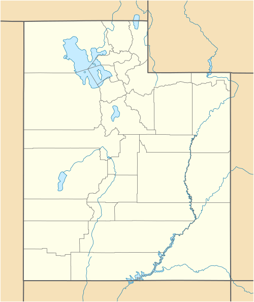
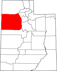
Arinosa is a ghost town located in Tooele County, Utah in the United States. Arinosa is 19 miles east of Wendover, Utah and 100 miles west of Salt Lake City, in the middle of the Great Salt Lake Desert. Although it lies along the route of the current Interstate 80, there is no exit providing access to the area.
Arinosa began in the 1880s as a maintenance community for the Central Pacific railroad line, and was managed by Western Pacific in the twentieth century.[1] The town also lay along the historic route of U.S. 40, which paralleled the Western Pacific line through western Utah. In the 1950s the settlement was abandoned due to dearth of available water and shifting transportation patterns.[1]
No buildings survive the settlement, although Metaphor: The Tree of Utah is only a few miles east of the former site of Arinosa.
References
- 1 2 Van Cott, John W. (1990). Utah Place Names. Salt Lake City, Utah: University of Utah Press. (reprint at onlineutah.com)
