Bryce, Utah
| Bryce | |
|---|---|
| Unincorporated community | |
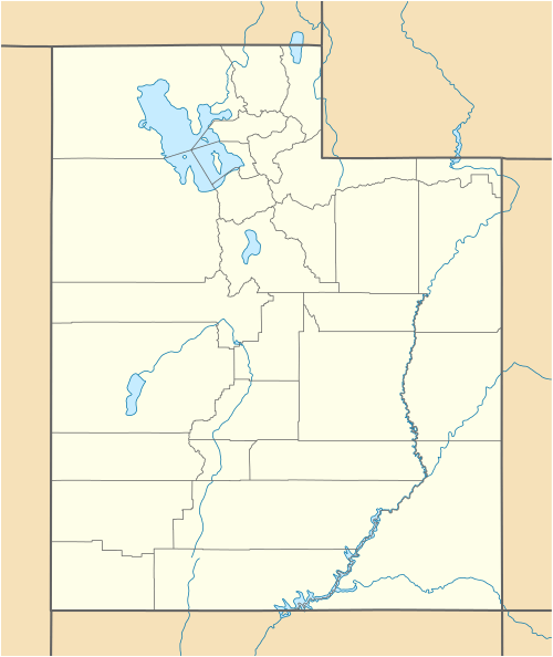
 Bryce Location within the state of Utah | |
| Coordinates: 37°40′26″N 112°09′21″W / 37.67389°N 112.15583°WCoordinates: 37°40′26″N 112°09′21″W / 37.67389°N 112.15583°W | |
| Country | United States |
| State | Utah |
| County | Garfield |
| Named for | Ebenezer Bryce |
| Time zone | Mountain (MST) (UTC-7) |
| • Summer (DST) | MDT (UTC-6) |
| ZIP codes | 84764 |
| FIPS code | 49017 |
Bryce /ˈbraɪs/ is an unincorporated community in southwestern Garfield County, Utah, United States, southeast of the city of Panguitch, the county seat of Garfield County. It lies along State Route 63 in the northern part of Bryce Canyon National Park. The community is distinct from the town of Bryce Canyon City.[1] Although Bryce is unincorporated, it has a post office, with the ZIP code of 84764.[2]
Climate
The climate in this area has mild differences between highs and lows, and there is adequate rainfall year round. According to the Köppen Climate Classification system, Bryce has a marine west coast climate, abbreviated "Cfb" on climate maps.[3]
References
- ↑ Rand McNally. The Road Atlas '08. Chicago: Rand McNally, 2008, pp. 102-103.
- ↑ Zip Code Lookup Archived May 17, 2011, at the Wayback Machine.
- ↑ Climate Summary for Bryce, Utah
This article is issued from Wikipedia - version of the 11/19/2016. The text is available under the Creative Commons Attribution/Share Alike but additional terms may apply for the media files.
