Carobbio degli Angeli
| Carobbio degli Angeli | ||
|---|---|---|
| Comune | ||
| Comune di Carobbio degli Angeli | ||
|
View of the Castello degli Angeli | ||
| ||
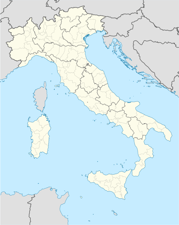 Carobbio degli Angeli Location of Carobbio degli Angeli in Italy | ||
| Coordinates: 45°40′N 9°50′E / 45.667°N 9.833°ECoordinates: 45°40′N 9°50′E / 45.667°N 9.833°E | ||
| Country | Italy | |
| Region | Lombardy | |
| Province / Metropolitan city | Bergamo (BG) | |
| Frazioni | Cicola, Santo Stefano degli Angeli | |
| Government | ||
| • Mayor | Giuseppe Ondei | |
| Area | ||
| • Total | 6.7 km2 (2.6 sq mi) | |
| Elevation | 232 m (761 ft) | |
| Population (31 December 2010)[1] | ||
| • Total | 4,619 | |
| • Density | 690/km2 (1,800/sq mi) | |
| Demonym(s) | Carobbiesi | |
| Time zone | CET (UTC+1) | |
| • Summer (DST) | CEST (UTC+2) | |
| Postal code | 24060 | |
| Dialing code | 035 | |
| Patron saint | St. Pancratius | |
| Saint day | July 9 | |


Carobbio degli Angeli is a comune (municipality) in the Province of Bergamo in the Italian region of Lombardy, located about 60 kilometres (37 mi) northeast of Milan and about 13 kilometres (8 mi) southeast of Bergamo.
Carobbio degli Angeli borders the following municipalities: Bolgare, Chiuduno, Gandosso, Gorlago, Grumello del Monte, Trescore Balneario.
History
The village has Roman origins. In the 14th century AD it received a castle. Later it was a possession of the Republic of Venice.
The current comune was created in 1928 through the merger of Carobbio and Santo Stefano degli Angeli.
Main sights
- Castello degli Angeli ("Castle of the Angels")
- Villa Riccardi, used by the bishops of Bergamo for their leisure.
References
This article is issued from Wikipedia - version of the 8/16/2016. The text is available under the Creative Commons Attribution/Share Alike but additional terms may apply for the media files.