Lipovac, Vukovar-Srijem County
| Lipovac | |
|---|---|
| Village | |
|
Lipovac | |
 | |
 Lipovac | |
| Coordinates: HR 45°08′10″N 19°01′50″E / 45.13611°N 19.03056°ECoordinates: HR 45°08′10″N 19°01′50″E / 45.13611°N 19.03056°E | |
| Country |
|
| County |
|
| Municipality | Nijemci |
| Population (2011) | |
| • Total | 814 |
| Time zone | CET (UTC+1) |
| • Summer (DST) | CEST (UTC+2) |
| Website | www.opcina-nijemci/lipovac |
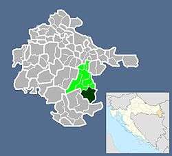
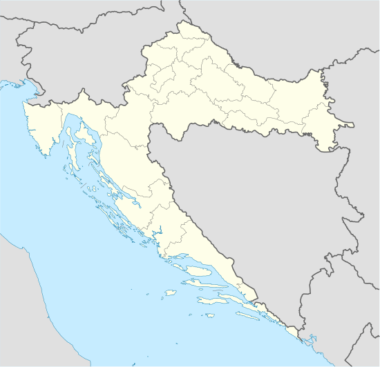
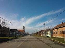
Lipovac is a village located in Srijem, eastern Croatia, at the border with Serbia. It is administratively part of the Nijemci municipality. The population is 1,243 (census 2001).
The village is located near the end point of the highway A3, to the south of the Bosut river. During the Croatian war of independence, it was occupied by Serbian forces.
Highway mentions
Because of the nearby highway exit and the borderline, the village gained some surprising prominence in the 1990s, when the Croatian road authorities sectioned the former highway "Bratstvo i jedinstvo", and Lipovac happened to be the last stop before the newly created border with Serbia. Subsequently, all road signs that previously said "Beograd" (Belgrade, located to the east), were replaced to say "Lipovac". The highway itself was no longer referred to as autocesta Zagreb-Beograd but instead autocesta Zagreb-Lipovac.
This move was widely considered to be disingenuous, but it was a fairly practical stop-gap measure, because the signs mentioning Belgrade were regularly getting vandalized. Over time, in the west the mention of Lipovac was slowly replaced with Slavonski Brod, which was the nearest large control city. Later, the two sections between Slavonski Brod and Lipovac underwent a major reconstruction (finished in 2002 and 2006 resp.), and some new signs there continued to mention Lipovac. Later still, when the tensions between the two countries had subsided, the Sredanci interchange of A3/A5 was built in 2007 and the signs there do use Belgrade as an east destination.

