Montier, Missouri
| Montier, Missouri | |
|---|---|
| Village | |
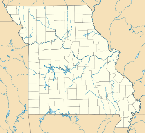
 Montier Location within the state of Missouri | |
| Coordinates: 36°59′13″N 91°34′31″W / 36.98694°N 91.57528°WCoordinates: 36°59′13″N 91°34′31″W / 36.98694°N 91.57528°W | |
| Country | United States |
| State | Missouri |
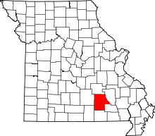
| County | Shannon |
| Township | Montier |
| Elevation | 1,075 ft (328 m) |
| Population (2010) | |
| • Total | 98 |
| • Density | 66/sq mi (106.2/km2) |
| Time zone | Central (CST) (UTC-6) |
| • Summer (DST) | CDT (UTC-5) |
| ZIP code | 65546 |
| Area code(s) | 573 |
| FIPS code | 29-49610[1] |
| GNIS feature ID | 722548[2] |
Montier is a village in southwestern Shannon County, Missouri, United States.
History
The community was founded in 1890 and is named after A. N. Montier, an American railroadman.
Geography
Montier is located about seven miles east of Mountain View on U.S. Route 60.
References
- ↑ "American FactFinder". United States Census Bureau. Retrieved 2008-01-31.
- ↑ "US Board on Geographic Names". United States Geological Survey. 2007-10-25. Retrieved 2008-01-31.
This article is issued from Wikipedia - version of the 8/23/2016. The text is available under the Creative Commons Attribution/Share Alike but additional terms may apply for the media files.
