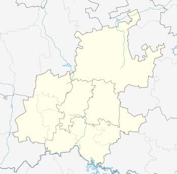
Nigel, Gauteng
| Nigel | |
|---|---|
 Nigel  Nigel  Nigel
| |
| Coordinates: 26°25′13″S 28°28′6″E / 26.42028°S 28.46833°ECoordinates: 26°25′13″S 28°28′6″E / 26.42028°S 28.46833°E | |
| Country | South Africa |
| Province | Gauteng |
| Municipality | Ekurhuleni |
| Established | 1886 |
| Area[1] | |
| • Total | 139.07 km2 (53.70 sq mi) |
| Population (2011)[1] | |
| • Total | 38,318 |
| • Density | 280/km2 (710/sq mi) |
| Racial makeup (2011)[1] | |
| • Black African | 44.9% |
| • Coloured | 16.7% |
| • Indian/Asian | 3.9% |
| • White | 33.4% |
| • Other | 1.1% |
| First languages (2011)[1] | |
| • Afrikaans | 43.5% |
| • Zulu | 23.3% |
| • English | 16.1% |
| • Sotho | 5.3% |
| • Other | 11.8% |
| Postal code (street) | 1491 |
| PO box | 1490 |
| Area code | 011 |
Nigel is a small gold mining town in Gauteng Province, South Africa. The town is on the edge of the area known as the East Rand, the industrial engine room of Johannesburg.
A prospector, reading Sir Walter Scott's The Fortunes of Nigel at the time (see Nigel), discovered gold on the farm Varkensfontein in 1886 and immediately formed the Nigel Gold Mining Company. The town which grew around the mine still bears names derived from Scott's book.
Today the town is focused primarily on mining and also has various heavy industries.
Nigel's municipal government became part of the much larger Ekurhuleni Metropolitan Municipality following the creation of new local government structures in 2000, along with most of rest of the East Rand.
On August 1, 2010, a fire at the Pieter Wessels old age home lead to the deaths of 22 people.[2]
References
- 1 2 3 4 "Main Place Nigel". Census 2011.
- ↑ "Four more residents die at old age home". BuaNews Online. 3 August 2010. Retrieved 3 August 2010.
External links
| Wikimedia Commons has media related to Nigel, Gauteng. |
.svg.png)