Plaza, Washington
| Plaza, Washington | |
|---|---|
| Unincorporated community | |
 Plaza, Washington | |
| Coordinates: 47°19′13″N 117°23′02″W / 47.32028°N 117.38389°WCoordinates: 47°19′13″N 117°23′02″W / 47.32028°N 117.38389°W | |
| Country | United States |
| State | Washington |
| County | Spokane |
| Time zone | Pacific (PST) (UTC-8) |
| • Summer (DST) | PDT (UTC-7) |
| US | 99170 |
| Area code(s) | 509 |
| GNIS feature ID | 1512567[1] |
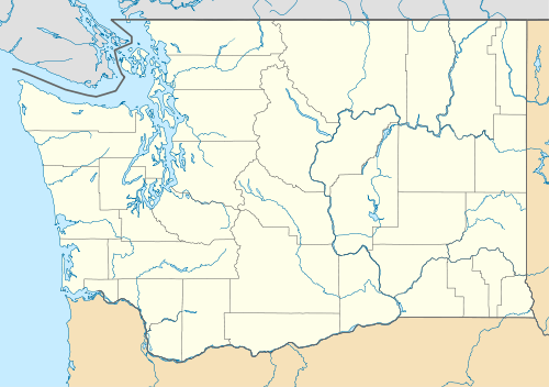
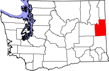
Plaza is an unincorporated community in Spokane County, Washington, United States. Plaza is situated in a valley formed by Spangle Creek, located approximately 7 miles (11 km) north of Rosalia. U.S. Route 195, a major north–south highway in the Palouse region, ran through the settlement until it was relocated to a bypass in 1974.[2]
References
- ↑ "Plaza". Geographic Names Information System. United States Geological Survey. Retrieved December 21, 2015.
- ↑ "U.S. 195 Road Link Not Done". Spokane Daily Chronicle. September 24, 1975. p. 1. Retrieved December 21, 2015.
This article is issued from Wikipedia - version of the 9/21/2016. The text is available under the Creative Commons Attribution/Share Alike but additional terms may apply for the media files.
