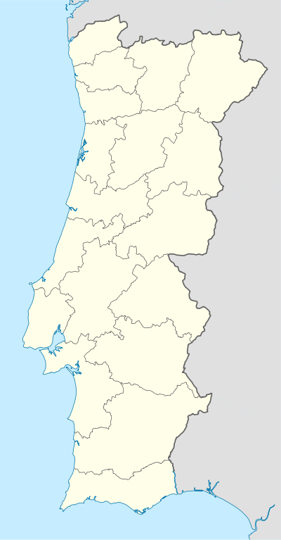
São Domingos de Rana
| São Domingos de Rana | ||
|---|---|---|
| Parish | ||
| ||
 São Domingos de Rana | ||
| Coordinates: 38°42′07″N 9°20′24″W / 38.702°N 9.340°WCoordinates: 38°42′07″N 9°20′24″W / 38.702°N 9.340°W | ||
| Country | Portugal | |
| Region | Lisbon | |
| Subregion | Grande Lisboa | |
| Metropolitan area | Lisbon | |
| District | Lisbon | |
| Municipality | Cascais | |
| Area | ||
| • Total | 20.36 km2 (7.86 sq mi) | |
| Population (2011) | ||
| • Total | 57,502 | |
| • Density | 2,800/km2 (7,300/sq mi) | |
| Postal code | 2785 | |
| Area code | 214 | |
| Patron | Saint Dominic | |
| Website | http://www.jf-sdrana.pt | |
São Domingos de Rana (Portuguese pronunciation: [sɐ̃w̃ duˈmĩɡuʃ dɨ ˈʁɐnɐ]) is a civil parish (Portuguese: freguesia) of the Portuguese municipality of Cascais, part of the Greater Lisbon subregion. The population in 2011 was 57,502,[1] in an area of 20.36 km².[2] The parish includes the localities Abóboda, Cabeço de Mouro, Caparide, Matarraque, Outeiro de Polima, Polima, Rana, Talaíde, Tires, Trajouce and Zambujal.
History

The settlement of São Domingos de Rana, is associated with the fertility of the soils and the abundance of spring-waters: the number of archaeological vestiges in the parish implies its place in the settlement of the municipality. In many localities of the parish, human occupation has been almost permanent since the Paleolithic. The archaeological graves in the region attest to agricultural and hunting cultures.
Architecture
Civic
- Cascais Municipal Aerodrome (Portuguese: Aeródromo Municipal de Cascais), inaugurated on 11 October 1964, by Portuguese President Américo Tomás, the airport developed under the initiative of the Secretário de Estado da Aeronáutica (Secretary of State for Aeronautics) and Direcção-Geral da Aeronáutica Civil (General-Directorate for Civil Aeronatuics), in addition to the Count of Monte Real; planned for the zone of Areia-Guincho, it was installed in Tires, by the Direcção-Geral and military aeronautics which continued into 1973[3]
- Casal Saloio de Outeiro de Polima
- Roman village of Freira (Portuguese: Villa romana de Freiria), Vergílio Correia was the first to refer to the Roman remains in this zone, after discovering a stone Roman burial mound. The archaeologist discovered a number of frgaments of cermaics, that date the location to the pre-historic period, but village to about the 4th or 2nd century, that includes mill and quarters;[4]
- Roman village of Miroiças (Portuguese: Villa romana de Miroiças), it is the largest Roman villa in the municipality, with a great abundance of materials and superficial content, dating from the Paleolithic and Middle Ages, noting the longest period of human occupation;[5]
- Roman village of Outeiro de Polima (Portuguese: Villa Romana de Outeiro de Polima), dating to the Roman epoch, when it was constructed, it was discovered by Virgílio Correia in 1913. New excavations were carried-out in 1973, under the archeologist Guilherme Cardoso, whom discovered a large quantity of materials;[6]
- Estate of Rana (Portuguese: Quinta da Rana)[7]
Religious
- Church of São Domingos de Gusmão (Portuguese: Igreja Paroquial de São Domingos de Rana/Igreja de São Domingos de Gusmão), its construction dates to 1710, but its conclusion was limited due to the events of the 1755 Lisbon earthquake: it was concluded in 1838 (a date inscribed on the belltower). Between 1911 and 1918, the temple was closed and much of its content began to ruin. By August 2001, a new carillon, with 23 bells, 19 constructed in Braga, 3 pre-existing and one from a factory in Belgium, was inaugurated for the church, electrified and computerized, but manually operatable;[8]
- Chapel of Conceição (Portuguese: Capela da Conceição)[9]
References
- Notes
- ↑ Instituto Nacional de Estatística
- ↑ Direção-Geral do Território
- ↑ Figueiredo, Paula (2010), SIPA, ed., Aeródromo de Tires (PT031105060408) (in Portuguese), Lisbon, Portugal: SIPA – Sistema de Informação para o Património Arquitectónico, retrieved 16 February 2012
- ↑ Noé, Paula (1994), SIPA, ed., Villa romana de Freiria (PT031105060021) (in Portuguese), Lisbon, Portugal: SIPA – Sistema de Informação para o Património Arquitectónico, retrieved 16 February 2012
- ↑ Noé, Paula (1991), SIPA, ed., Villa romana de Miroiço (PT031105060023) (in Portuguese), Lisbon, Portugal: SIPA – Sistema de Informação para o Património Arquitectónico, retrieved 16 February 2012
- ↑ Rodrigues, Helena (2002), SIPA, ed., Villa Romana de Outeiro de Polima (PT031105060073) (in Portuguese), Lisbon, Portugal: SIPA – Sistema de Informação para o Património Arquitectónico, retrieved 16 February 2012
- ↑ Rodrigues, Helena (2002), SIPA, ed., Quinta de Rana (PT031105060068) (in Portuguese), Lisbon, Portugal: SIPA – Sistema de Informação para o Património Arquitectónico, retrieved 16 February 2012
- ↑ Rodrigues, Helena (2001), SIPA, ed., Igreja Paroquial de São Domingos de Rana/Igreja de São Domingos de Gusmão (PT031105060091) (in Portuguese), Lisbon, Portugal: SIPA – Sistema de Informação para o Património Arquitectónico, retrieved 16 February 2012
- ↑ Costa, Patrícia (2002), SIPA, ed., Capela da Conceição (PT031105060097) (in Portuguese), Lisbon, Portugal: SIPA – Sistema de Informação para o Património Arquitectónico, retrieved 16 February 2012
- Sources
- As ruas de São Domingos de Rana (in Portuguese) (2nd ed.), DSA Editores, 1999, ISBN 972-9893918
- História das Freguesias e Concelhos de Portugal (in Portuguese), 4, Quidnovi - QN Edição de Conteudos, S.A., 2004, ISBN 989-554-152-X
- Grande Enciclopédia Portuguesa e Brasileira (in Portuguese), 27 (1st ed.), Lisbon, Portugal: Editorial Enciclopédia & Resomnia - Editora de Livros e Publicações, p. 456
