Claremont Historic District
|
Claremont Historic District | |
 | |
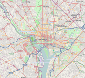 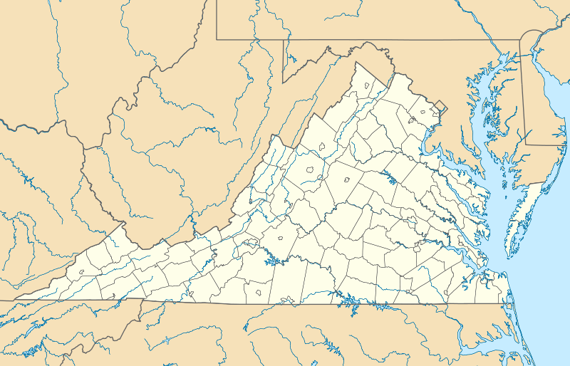  | |
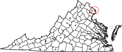
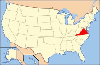
| Location | Bounded by S. Dinwiddie St., S. Chesterfield Rd., S. Buchanan St., 25th St. S, 24th St. S, 23rd St. S and 22nd St. S, Arlington, Virginia |
|---|---|
| Coordinates | 38°50′47″N 77°6′20″W / 38.84639°N 77.10556°WCoordinates: 38°50′47″N 77°6′20″W / 38.84639°N 77.10556°W |
| Area | 58.9 acres (23.8 ha) |
| Built | 1946 |
| Architect | Banks and Lee; Freed, Gerald and Claremont et al. |
| Architectural style | Colonial Revival, Modern Movement |
| MPS | Historic Residential Suburbs in the United States, 1830-1960 MPS |
| NRHP Reference # | 06000751[1] |
| VLR # | 000-9700 |
| Significant dates | |
| Added to NRHP | August 31, 2006 |
| Designated VLR | June 8, 2006, December 13, 2006[2] |
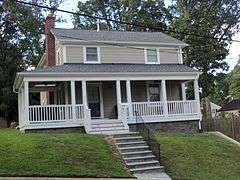
The Claremont Historic District is a national historic district located at Arlington County, Virginia. It contains 253 contributing buildings in a residential neighborhood in southwestern Arlington. The area was developed initially between 1946 and 1949, of two-story Colonial Revival style houses and 1 1/2-story Cape Cod style houses. In 1954, thirty-six Ranch-style houses were added.[3]
It was listed on the National Register of Historic Places in 2006.[1]
References
- 1 2 National Park Service (2010-07-09). "National Register Information System". National Register of Historic Places. National Park Service.
- ↑ "Virginia Landmarks Register". Virginia Department of Historic Resources. Retrieved 2013-05-12.
- ↑ Laura V. Trieschmann; Patti Kuhn; Ellen Jenkins; Elizabeth Breiseth (February 2006). "National Register of Historic Places Inventory/Nomination: Claremont Historic District" (PDF). and Accompanying four photos and Accompanying map Archived September 26, 2012, at the Wayback Machine.

This article is issued from Wikipedia - version of the 11/30/2016. The text is available under the Creative Commons Attribution/Share Alike but additional terms may apply for the media files.