Skeen's Mill Covered Bridge
|
Skeen's Mill Covered Bridge | |
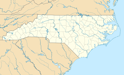  | |
| Location | 1.7 miles west of Flint Hill on SR 1406 off SR 1408, Flint Hill, North Carolina |
|---|---|
| Coordinates | 35°45′57″N 79°59′34″W / 35.76583°N 79.99278°WCoordinates: 35°45′57″N 79°59′34″W / 35.76583°N 79.99278°W |
| Area | 2 acres (0.81 ha) |
| Built | c. 1885-1900 |
| Architectural style | Town lattice-truss/queenpost |
| NRHP Reference # | 72000987[1] |
| Added to NRHP | January 20, 1972 |
Skeen's Mill Covered Bridge was a wooden covered bridge that spanned a branch of the Little Uwharrie River in Randolph County, North Carolina. It was built between about 1885 and 1900, and measured 100 feet long. The bridge had a combination of Ithiel Town lattice truss and queenpost truss construction. It had a gable roof and board-and-batten siding.[2] It has been demolished.
It was added to the National Register of Historic Places in 1972.[1]
References
- 1 2 National Park Service (2010-07-09). "National Register Information System". National Register of Historic Places. National Park Service.
- ↑ John B. Wells, III (May 1971). "Skeen's Mill Covered Bridge" (pdf). National Register of Historic Places - Nomination and Inventory. North Carolina State Historic Preservation Office. Retrieved 2015-02-01.

This article is issued from Wikipedia - version of the 12/1/2016. The text is available under the Creative Commons Attribution/Share Alike but additional terms may apply for the media files.